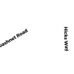
31 QUASHNET RD
Owner Information
MIRTO, MICHAEL E & WENDY M TRS
31 QUASHNET RD
MASHPEE, MA 02649


Property Details
31 QUASHNET RD is classified as a Mixed Use (Primarily Residential, some Agriculture) (Ranch).
The primary structure on this property was built in 1981. There are 960ft2 of built area within this property. There is 960ft2 of residential/living space within this property. This property is listed as having 4 rooms.
31 QUASHNET RD is valued at $789,820. The land is valued at $225,420 and the structures are valued at $478,500. There is an additional valuation of $85,900 on this property.
This property is in Zone R5. Confirm with local Zoning Board authorities to ensure there are no overlays or other easements on this property.
The most recent deed for 31 QUASHNET RD is recorded at the local registrar in Book 21863, Page 318. 31 QUASHNET RD was last sold on Tuesday, March 20, 2007 for $1.
Assessment data from fiscal year 2022.
Flood Data
According to the FEMA National Flood Hazard Layer, this property does not appear to be in a flood zone. It may also be in an area not yet reviewed. Nonetheless, confirm this information prior to taking any action.
To view the flood hazards around this property, create a FEMA "Firmette" Map of the area around 31 QUASHNET RD.
Broadband Internet Providers
| Provider | Type | Bandwidth (mbps) | |
|---|---|---|---|
| Viasat Inc | Satellite | 35 | 3 |
| GCI Communication Corp. | Satellite | 0 | 0 |
| T-Mobile | Fixed Wireless | 25 | 3 |
| Comcast | Cable | 1000 | 35 |
| Verizon New England Inc. | DSL | 5 | 0 |
| HughesNet | Satellite | 25 | 3 |
| VSAT Systems, LLC. | Satellite | 2 | 1 |
Broadband service provider data from December 2020.
Adjacent Properties
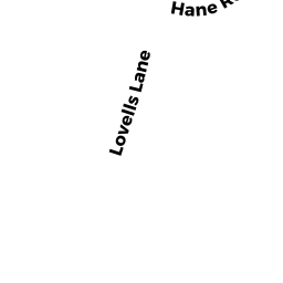
- 12 HANE RD
Single Family Residential owned by SANKER, ROBERT C & MARYLOU - 43 QUASHNET RD
Single Family Residential owned by BATTLES, DEBBIE - 37 QUASHNET RD
Single Family Residential owned by DEPINA, LAURIE A TR - 18 HANE RD
Single Family Residential owned by HOWARD, RICHARD G & - 15 HANE RD
Single Family Residential owned by DIMAGGIO, ALICE - 0 LOVELLS LN
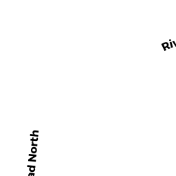
Vacant, Tax Title/Treasurer owned by MASHPEE, TOWN OF - 0 GREAT NECK RD, NORTH
Dept. of Fish and Game (DFG) -- formerly Division of Fisheries and Wildlife, Environmental Law Enforcement (DFWELE) owned by MASSACHUSETTS COMMONWEALTH OF - 23 QUASHNET RD
Single Family Residential owned by LEWIS, GEORGE G & LINDA A - 9 QUASHNET RD
Developable Residential Land owned by HOLLIS, NEOME S &